


Koliganek Precinct, Dillingham Census Area, Alaska
About
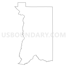
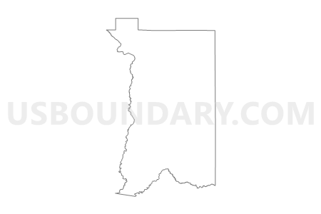
Outline
Summary
| Unique Area Identifier | 523311 |
| Name | Koliganek Precinct |
| County | Dillingham Census Area |
| State | Alaska |
| Area (square miles) | 4,065.47 |
| Land Area (square miles) | 4,045.96 |
| Water Area (square miles) | 19.52 |
| % of Land Area | 99.52 |
| % of Water Area | 0.48 |
| Latitude of the Internal Point | 60.40978430 |
| Longtitude of the Internal Point | -156.78898890 |
Maps


Graphs
Select a template below for downloading or customizing gragh for Koliganek Precinct, Dillingham Census Area, Alaska


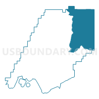
Neighbors
Neighoring Voting District (by Name) Neighboring Voting District on the Map
- Aleknagik Precinct, Dillingham Census Area, AK
- Kokhanok/Igiugig Precinct, Lake and Peninsula Borough, AK
- Mcgrath Precinct (Part; Also See Part In Yukon-Koyukuk Census Area), Bethel Census Area, AK
- New Stuyahok Precinct, Dillingham Census Area, AK
- Nondalton Precinct, Lake and Peninsula Borough, AK
- Sleetmute Precinct, Bethel Census Area, AK
Top 10 Neighboring County Subdivision (by Population) Neighboring County Subdivision on the Map
- Dillingham census subarea, Dillingham Census Area, AK (4,847)
- Lake and Peninsula census subarea, Lake and Peninsula Borough, AK (1,631)
- Aniak census subarea, Bethel Census Area, AK (1,450)
Top 10 Neighboring Place (by Population) Neighboring Place on the Map
Top 10 Neighboring Unified School District (by Population) Neighboring Unified School District on the Map
- Southwest Region School District, AK (2,518)
- Lake And Peninsula School District, AK (1,631)
- Kuspuk School District, AK (1,406)
- Iditarod Area School District, AK (1,102)
Top 10 Neighboring State Legislative District Lower Chamber (by Population) Neighboring State Legislative District Lower Chamber on the Map
- State House District 37, Bristol Bay-Aleutians, AK (15,199)
- State House District 36, Kodiak, AK (14,570)
- State House District 6, Interior Villages, AK (14,235)
Top 10 Neighboring State Legislative District Upper Chamber (by Population) Neighboring State Legislative District Upper Chamber on the Map
- State Senate District R, AK (31,989)
- State Senate District S, AK (31,254)
- State Senate District C, AK (28,081)
Top 10 Neighboring 111th Congressional District (by Population) Neighboring 111th Congressional District on the Map
Top 10 Neighboring Census Tract (by Population) Neighboring Census Tract on the Map
- Census Tract 1, Dillingham Census Area, AK (2,466)
- Census Tract 1, Lake and Peninsula Borough, AK (1,631)
- Census Tract 3, Bethel Census Area, AK (1,450)